
The forecast for 2026 is quiet, and that changes nothing about your plan. A Florida broker's guide to hurricane evacuation by private aircraft: why local availability disappears days before any runway closes, what we need from you when the call comes, and why the flight home is the harder half.

Our office is in Jupiter, Florida. Every August, the same conversation starts, and it almost always starts too late.
The season officially runs from June through November, but the part that matters begins now. August, September and October are when the Atlantic does most of its work, and they are the weeks when the phone rings from a house on a barrier island with a storm three days out and a family asking what their options are.
This is not a piece about fear. It is a piece about a timing problem most people get wrong, including people who have lived on this coast their whole lives.
What a below normal forecast actually forecasts
The 2026 outlook is a quiet one. NOAA gave the season a 55 percent chance of finishing below normal, forecasting 8 to 14 named storms, of which 3 to 6 become hurricanes and 1 to 3 reach major strength, with a developing El Niño expected to increase wind shear across the basin through the peak months. The outlook gets updated in early August, ahead of the historical peak in mid September.
That is genuinely good news for the basin. It is close to meaningless for any individual address.
The season most worth remembering here is 1992. It produced seven named storms, one of the quietest counts on record. One of them was Andrew, which came ashore south of Miami as a Category 5 and became the most destructive hurricane in American history to that point. A quiet season is a statement about how many storms form. It says nothing about where the ones that do form choose to go.
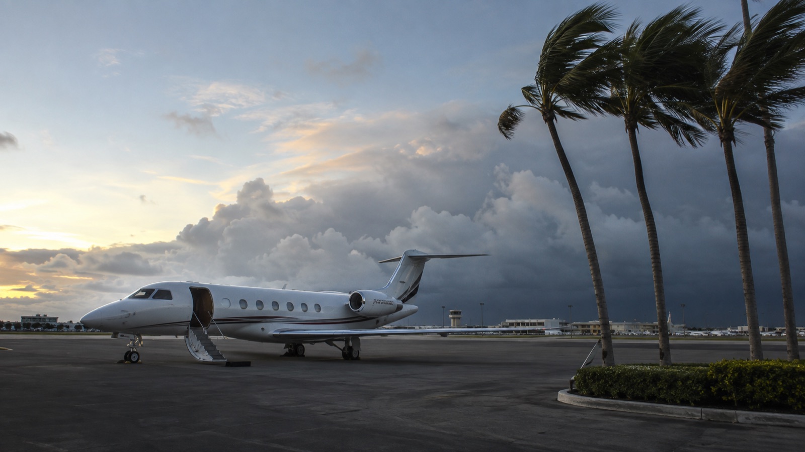
The practical reading, and the one we give clients who ask us in August: plan exactly as you would in a busy year, and be pleased if the plan goes unused.
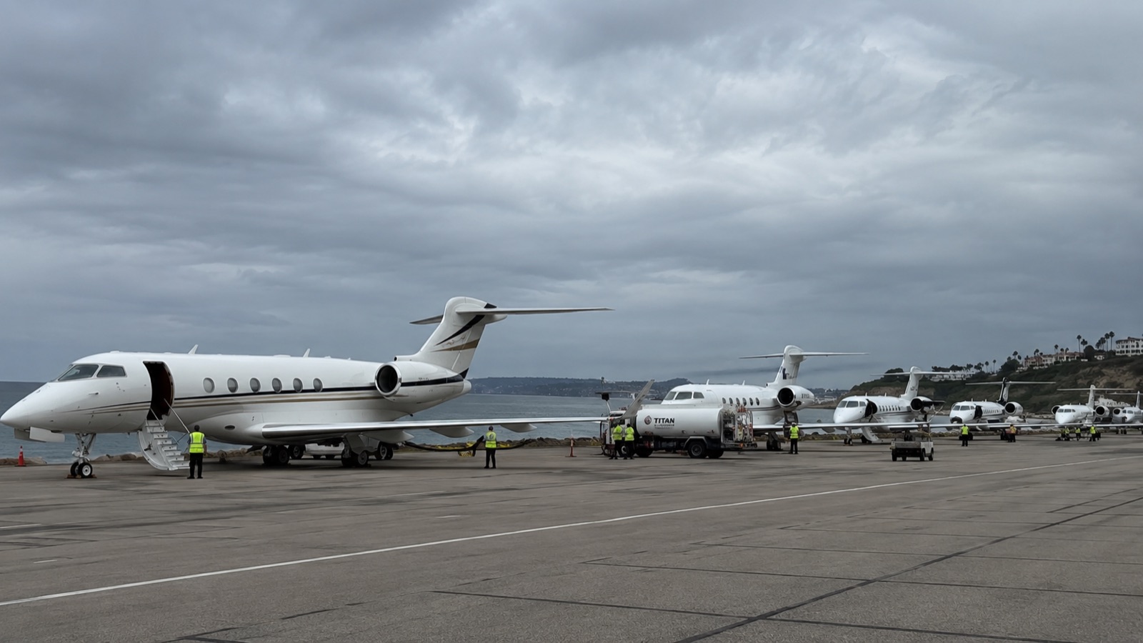
The window closes before the airport does
Here is the part that surprises people, and it is the single most useful thing in this article.
Most travelers assume the deadline for leaving by air is the moment the airport closes. It is not. The real deadline arrives well before that, and it is set by where the aircraft are.
Business aircraft are not left to sit in the path of a storm. Owners and operators move them out, and the guidance they follow is not last minute. Naples Airport tells its tenants to plan on leaving at least three days before the onset of tropical storm force winds, and to arrange space at two alternate airports in advance, because hangar and ramp space inland fills up as everyone else makes the same arrangements.
Multiply that across every operator in South Florida and the consequence is clear. Three days before landfall, the runways are open, the FBOs are staffed, and the aircraft that were parked there yesterday are already in Georgia, Tennessee or Texas. The airport is fine. The inventory is gone.
At that point a departure has to be flown in from wherever the fleet went, which means an empty positioning leg into an area everything else is flying away from, on a day when every other broker in the state is asking for the same thing. It can be done, and we have done it. It is simply a much narrower problem than the one you would have had forty eight hours earlier, and it is the same problem we describe in our piece on what happens when the aircraft you wanted is not available, compressed into a single weekend and applied to an entire state at once.
Then the airspace itself begins to constrict. The FAA puts a recovery temporary flight restriction in place roughly 24 hours before the eye makes landfall, with the primary concern at that stage being the evacuation of people from the storm’s path. Airports themselves stand down in the final day. During Milton in 2024, Tampa suspended operations the morning before landfall and Orlando halted commercial flying while staying open for emergency and relief aircraft.
So the honest sequence is this. The comfortable window is while the storm is still a cone on a map. The workable window is the day after that. The last window belongs to relief flights, and it should.

What we need from you when you call
Evacuation requests are different from ordinary charter requests. They share more with the same day departures we arrange for family emergencies than with a planned trip, and the difference that matters is that almost nobody has the answers ready. Four questions decide everything, and having them settled in advance is most of the preparation.
How many people, and who. Not an estimate. Household staff, elderly parents, a caregiver, the college-age children arriving that week. The number changes the aircraft, and the aircraft changes what is still available.
What travels with you. Pets are the reason many families end up unable to leave commercially at all, since airline pet policies tighten precisely when demand spikes and boarding kennels close ahead of a storm. Aircraft do not have that constraint, and dogs of any size fly in the cabin on a pet friendly charter. Say so at the first call, because it affects the cabin we look for.
Where you are actually going. “North” is not a destination. A named city with people or a hotel at the other end lets us work the trip properly, and it prevents the second evacuation that happens when a family lands somewhere the storm later turns toward.
How long you plan to stay away. This shapes the return more than the departure, and the return is where these trips get complicated.
Anyone who needs medical support in transit should say so immediately, because that is a different aircraft and a different crew, arranged through air ambulance charter rather than standard evacuation.
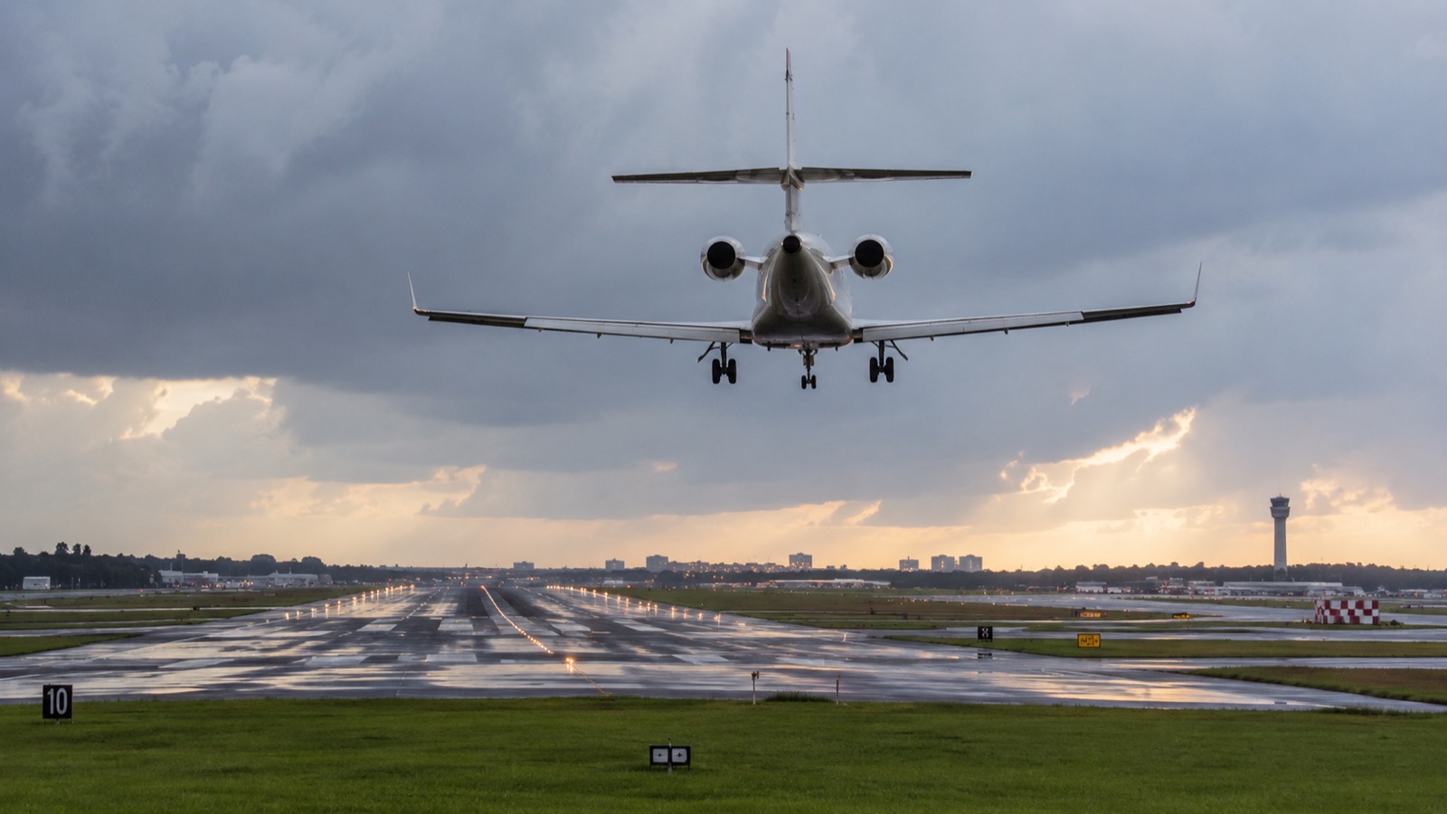
The return is the harder half
Everyone plans the flight out. Very few people plan the flight back, and it is consistently the harder one to arrange.
A reopened airport is not a functioning airport. The runway may be inspected and cleared while the FBO still has no power, no fuel trucks and no staff who can get to work through closed roads. Fuel is the recurring constraint after a landfall, and it decides which fields can accept arrivals long after the NOTAMs say the airport is open. Meanwhile the airspace is carrying disaster relief traffic, which takes priority, correctly.
What that means in practice is that returning families often route into an airport an hour or two of driving from home for the first several days. We would rather tell you that on the way out than discover it with you on the way back.
The plan worth having in August
None of this requires action today. It requires four decisions made calmly, while nothing is happening: who is on the aircraft, where you would go, who is watching the forecast on your behalf, and who you call. Clients who have those settled leave on the comfortable day. Clients who do not tend to call us on the narrow one.
Trans World Jets arranges emergency evacuation flights out of Florida and the Caribbean, and our office sits in the same weather you do. If you want your evacuation plan on file before anything is named, send us the household count, your preferred destination and your home field, whether that is West Palm Beach, Fort Lauderdale Executive or Naples. We will tell you what realistically flies from there and on which day it stops flying. Write to sales@transworldjets.com or start at our quote request page.
If a storm is already named and you are reading this, do not wait for the cone to firm up. Call now, while the aircraft are still here.
Evan Grossman
Evan Grossman is the President of Trans World Jets, a private aviation brokerage based in Jupiter, Florida. With over two decades of experience arranging charter flights for corporate executives, families, and government clients worldwide, Evan specializes in complex logistics, medical evacuations, and VIP airliner charter. He founded Trans World Jets in 2011.
Planning your own charter?
Every mission is different. Reach out for a personalized quote from a broker who handles flights like these every day.